Territory monitoring
Know what happens in your territory without being there.
Continuous satellite monitoring of the whole ecosystem, with early alerts. Set up remotely.
For whoever has to watch over a territory, their own or not.
Farming and forestry companies
Watch boundaries, cover and risks across your properties without sending anyone.
Reserves and conservation organisations
Continuous evidence that the ecosystem you protect is still healthy.
Funds and investors
Follow the real state of the territories your money is in.
Insurers
The record of fires, floods and hazards of each area.
Public bodies
One shared reading of the territory to plan and to respond.
Three readings of the same territory.
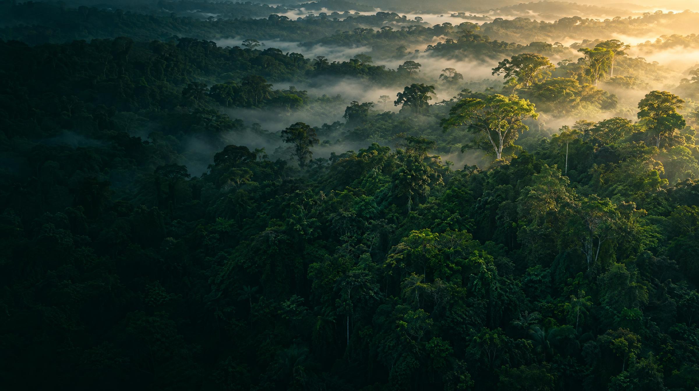
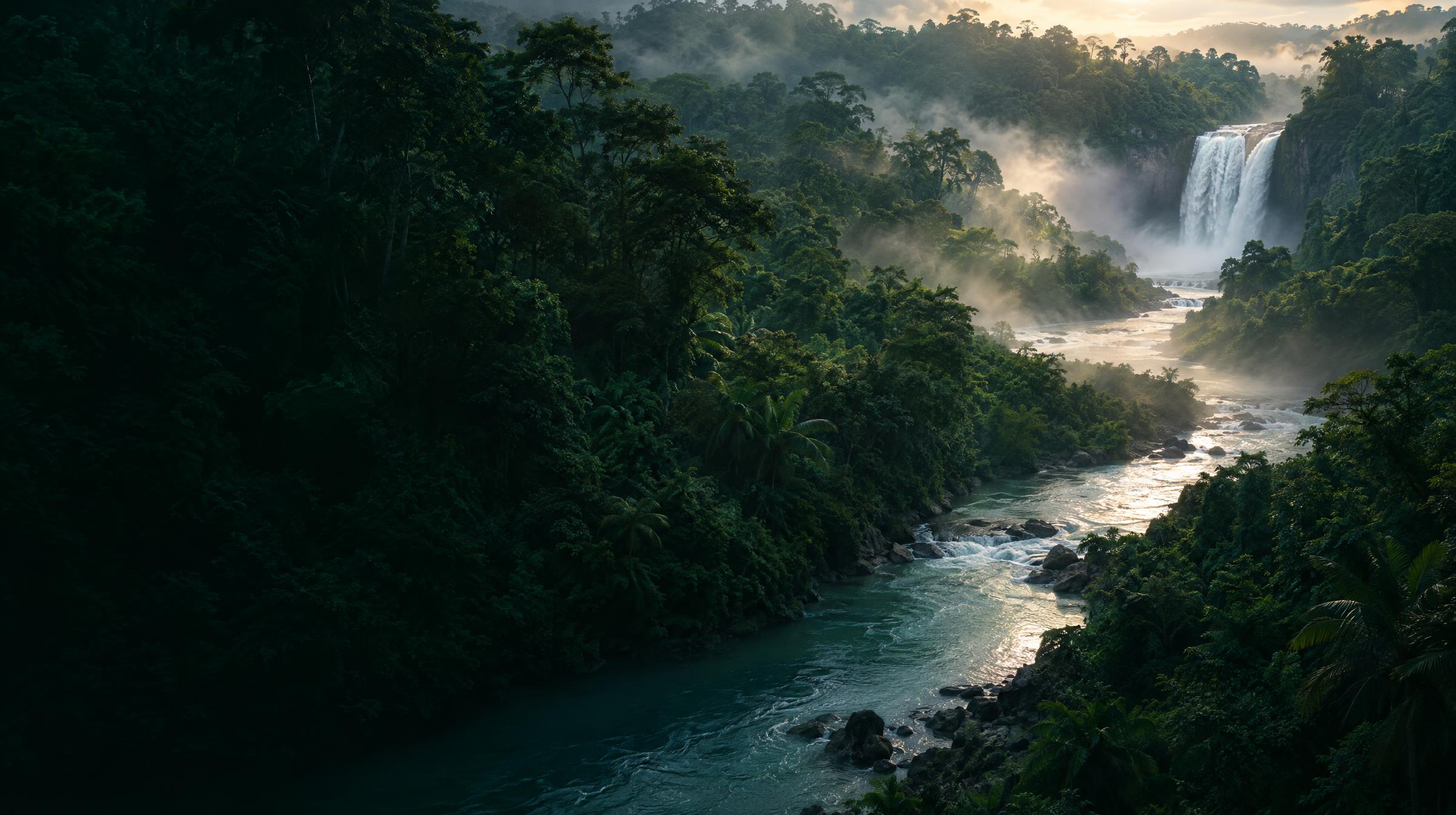
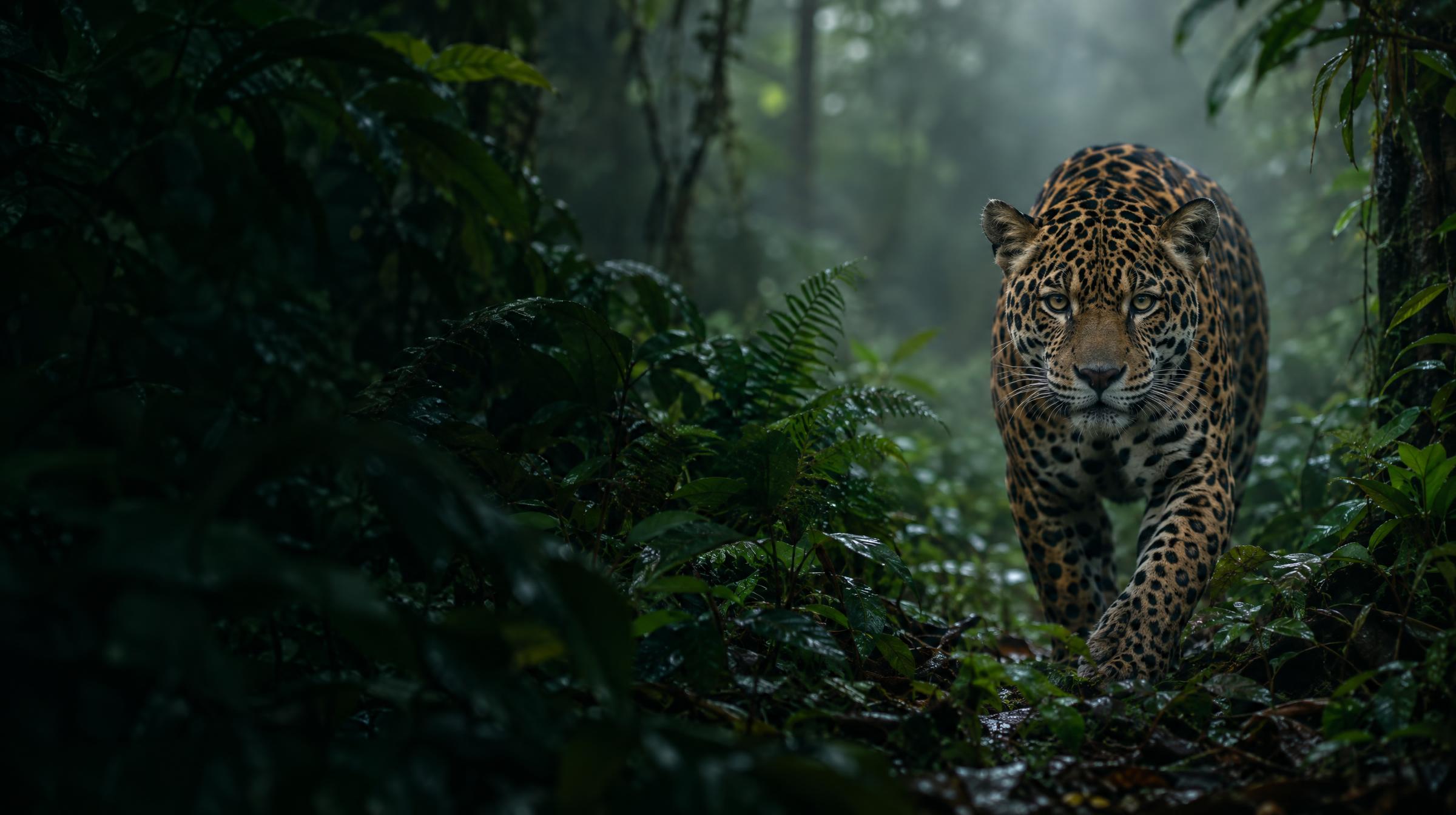
The forest, the water that crosses it and the life inside it, read from space and kept up to date.
A warning before the damage arrives.
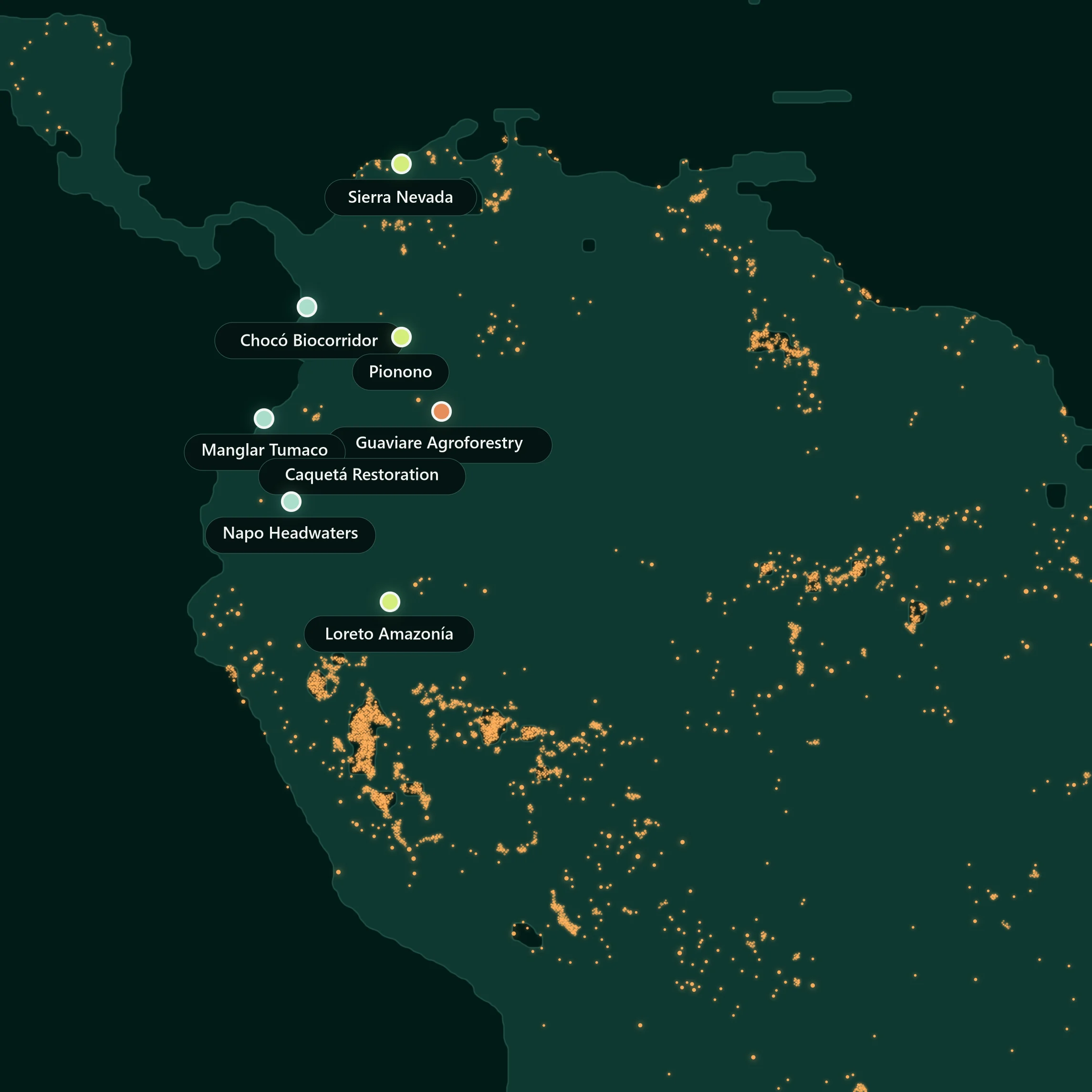
Wildfires
The history of fires at every point of the territory and the new detections near it, from satellite sensors.
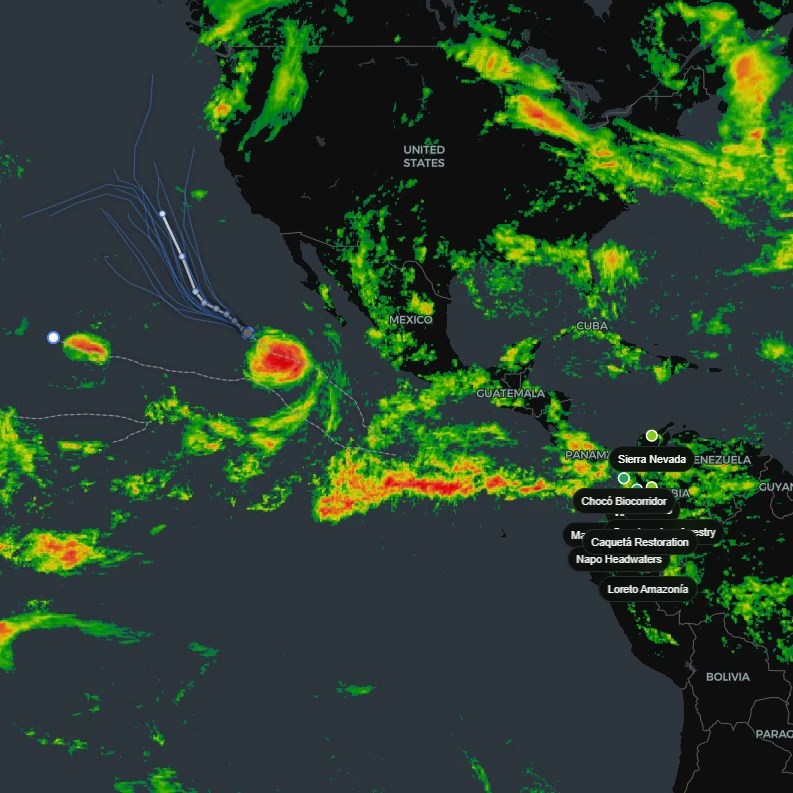
Floods and basins
Rainfall and flood models, and the health and supply of the basins nearby.
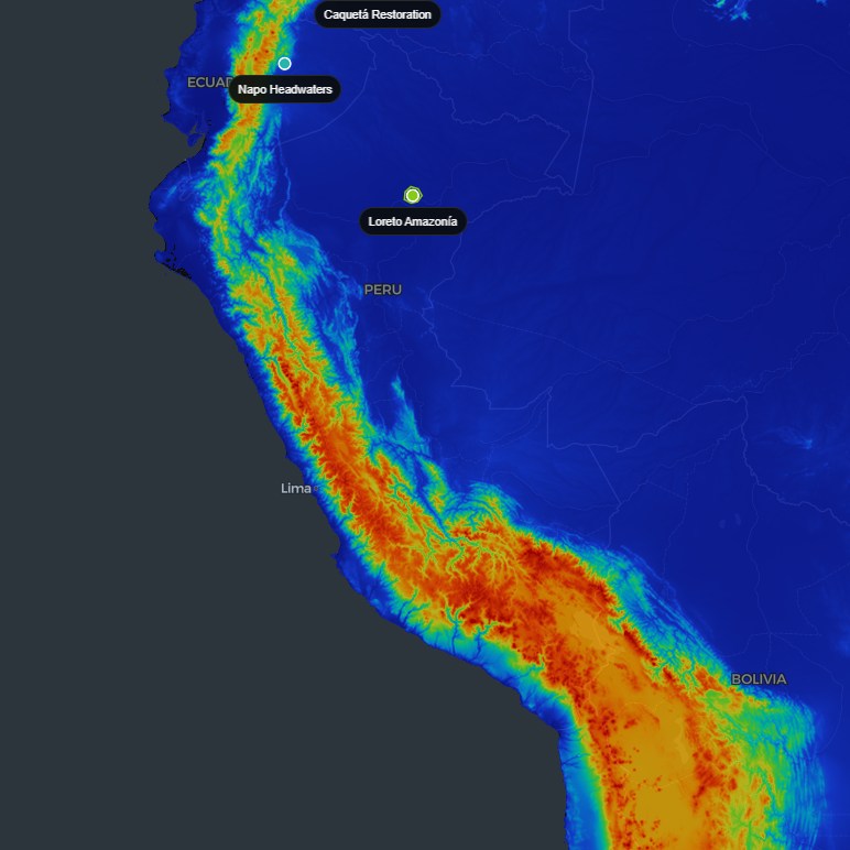
Multi-hazard maps
With NASA and Google Earth Engine data we simulate how exposed a territory is to floods, landslides and earthquakes.
Switch on only the layers you need.
Each layer is contracted on its own. Start with one and add the others when you need them. Everything is set up remotely, with no visit to the land.
Looking for carbon credits instead? Earn from your land
Your monitoring: 2 layers
See it on your own territory.
Tell us which territory you need to watch and we show you what we can read of it today.