About Karvonus

    We make a standing forest worth more than a cleared one

    Karvonus exists so that the communities who look after an ecosystem can make a living from conserving it. We measure what the forest does and turn it into income for those who protect it.
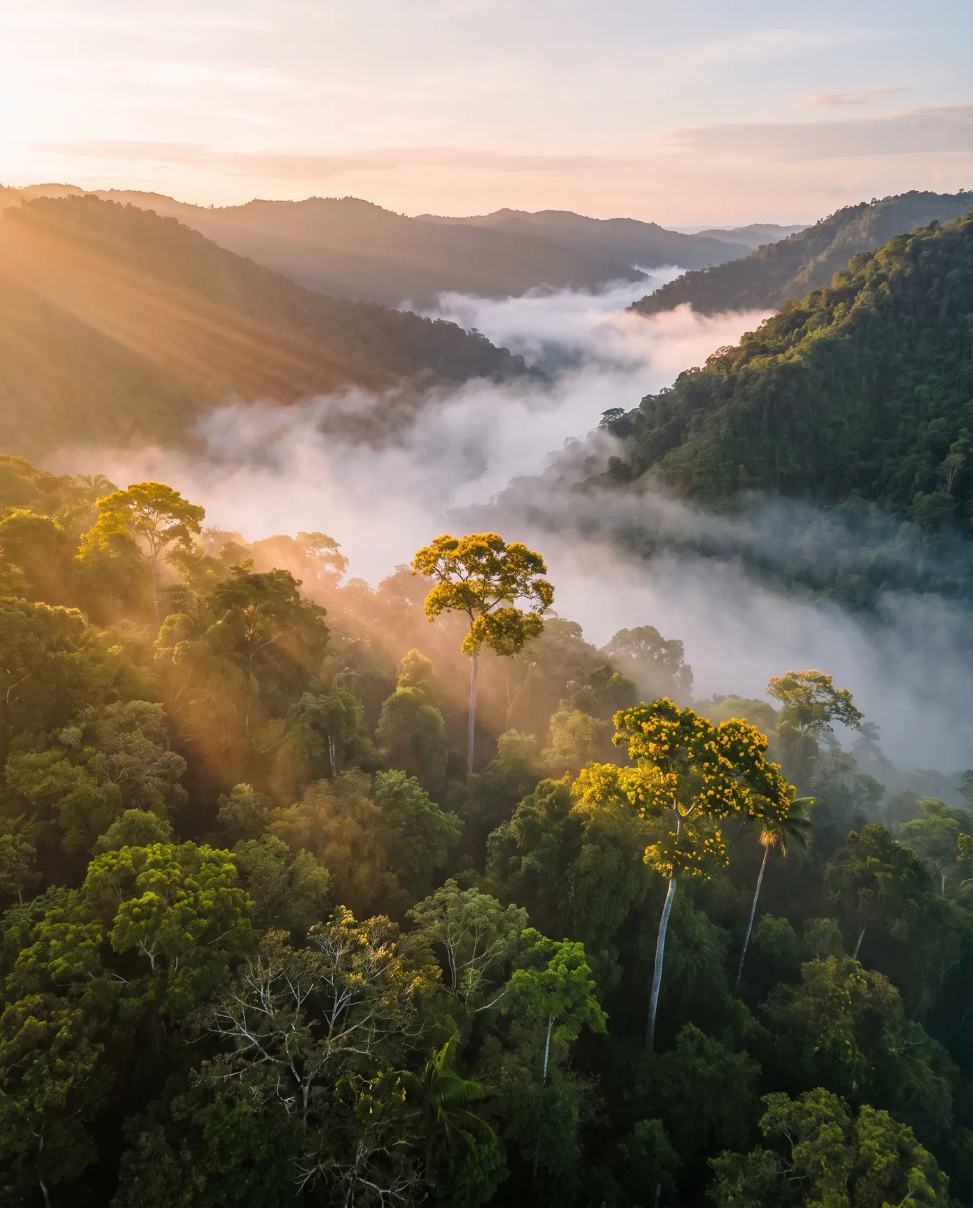
    Cloud forest at sunrise, with mist in the valleys and trees in yellow bloom above the canopy

    Impact beyond carbon

    Every project has to leave something in the ecosystem, in the people who live in it and in their economy.

    Environmental

    Ecosystems and biodiversity that stay standing, with continuous monitoring to show it.

    Social

    Part of each project's revenue goes to local communities: monitoring, water access, energy, health and education.

    Economic

    Sustainable income for landowners, communities and investors, and land that is worth more with its forest standing.

    Today, conserving does not pay those who conserve

    Certifying a carbon project is slow, expensive and opaque: many take more than a year to validate, and a significant portion of credits do not reflect real impact. Meanwhile, the communities and landowners doing the work wait, and buyers do not know whom to believe.

    Karvonus was created to close that gap.

    Evidence of integrity issues in forest carbon credits

    Figures refer to specific program analyses, not the entire market.

    94%Verra rainforest offsets analyzed: "no effect / phantom credits"
    29%California forest offsets analyzed: "over-credited"

    Source: The Guardian / SourceMaterial investigation (2023)

    Source: CarbonPlan analysis of California forest offsets (2021)
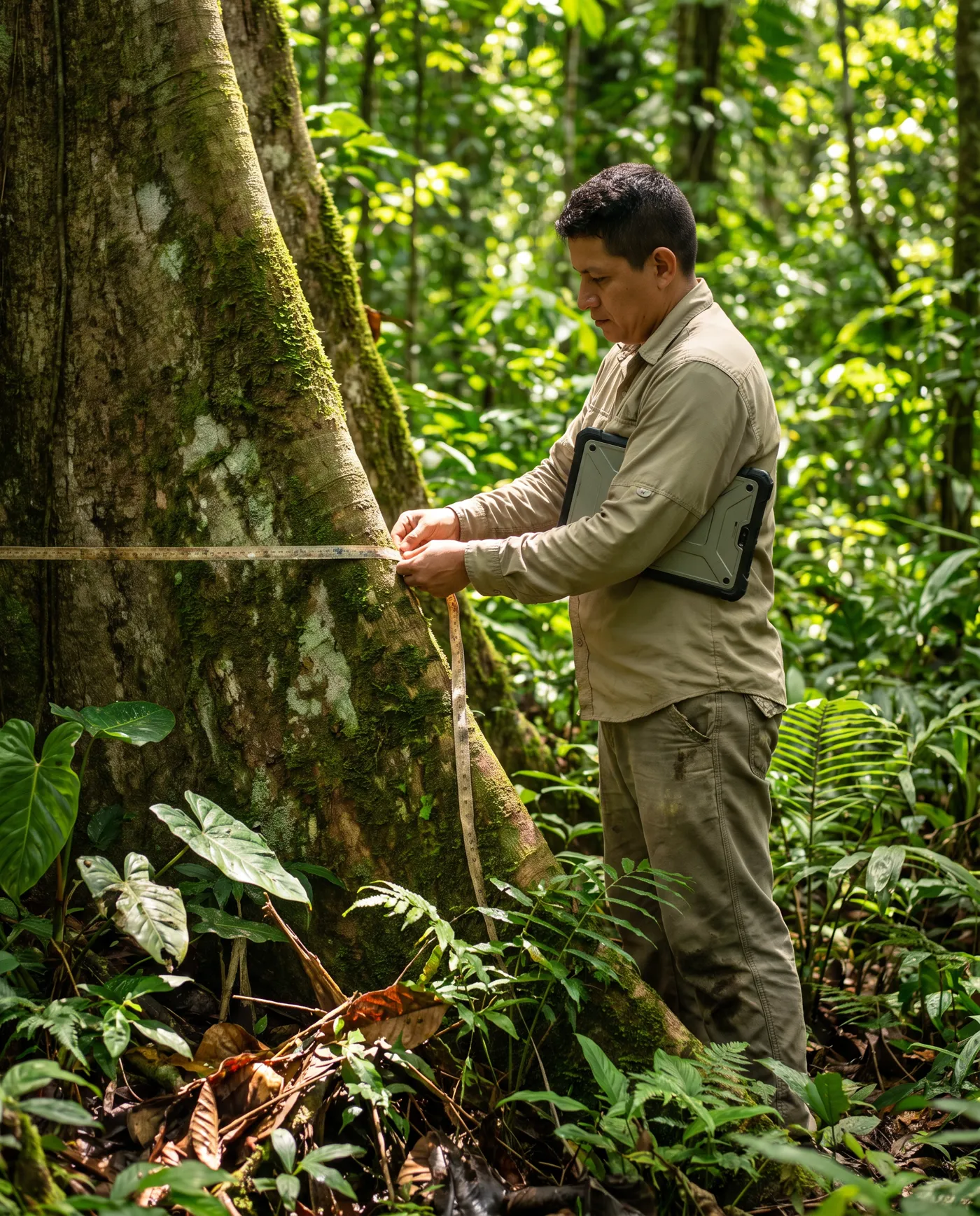
    A forest technician measuring the trunk of a large tree with a tape

    We measure so that care can be proven

    We combine satellite imagery, LiDAR measurement and allometric models to know how much carbon a territory captures and how its ecosystem changes over time. Each territory gets a 3D digital twin, and the data becomes evidence that anyone can audit.

    It is not a one-day snapshot. We stay with each project through its whole life, from the first measurement to continuous monitoring and ESG-aligned reporting.

    • Satellite
    • LiDAR
    • Allometric models
    • 3D digital twin
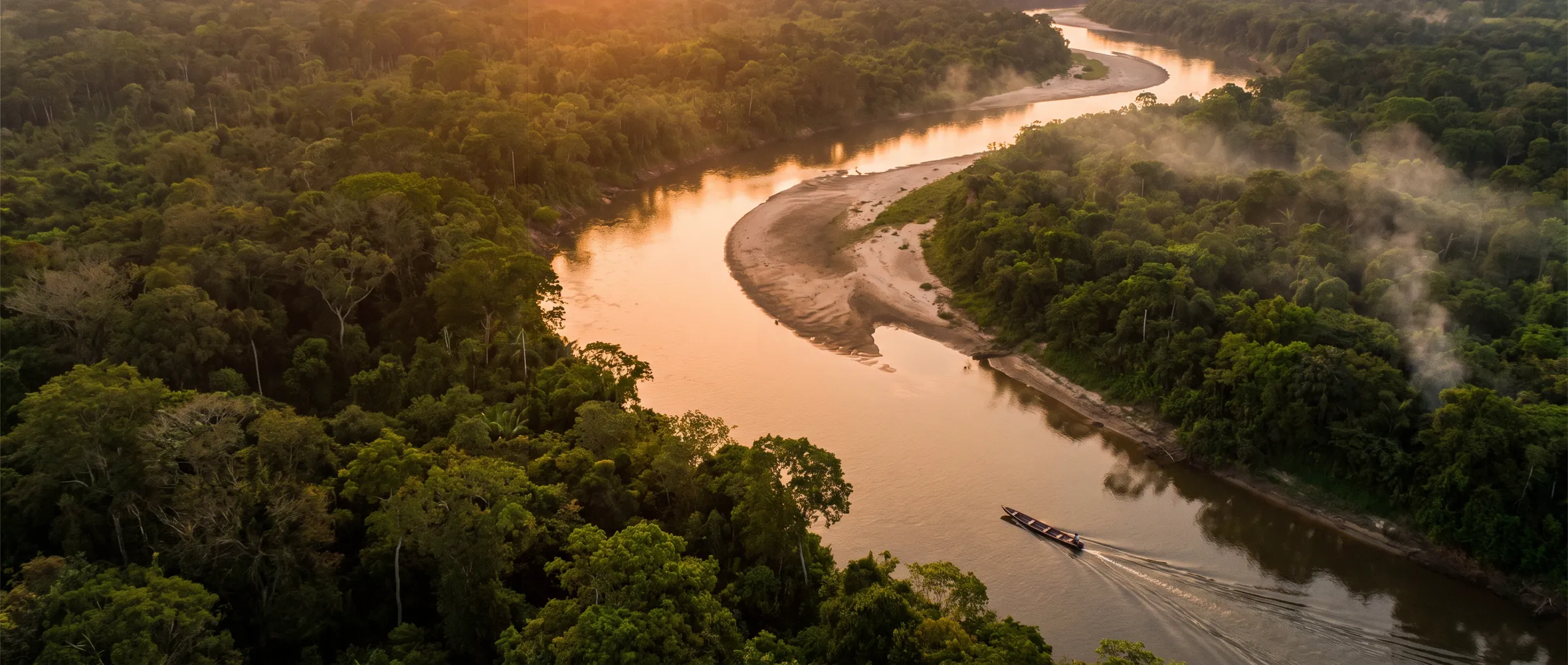
    A river winding through the rainforest at sunset, with a boat going up it

    A bridge between those who care for nature and those who want to support it

    We connect conservation projects in Latin America with buyers around the world. Karvonus is not a consultancy or a traditional intermediary: we build the technology that lets both sides trust that the impact is real.

    Our Team

    Experts in Climate Tech, Geospatial Intelligence & Blockchain
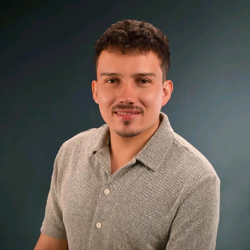
    Felipe Arenas Teneche

    Felipe Arenas Teneche

    Chief Executive Officer & Co-Founder

    Leads Karvonus' strategy and operations. Expert in process design and execution, ensuring the technology works at scale with efficiency, traceability, and social impact.
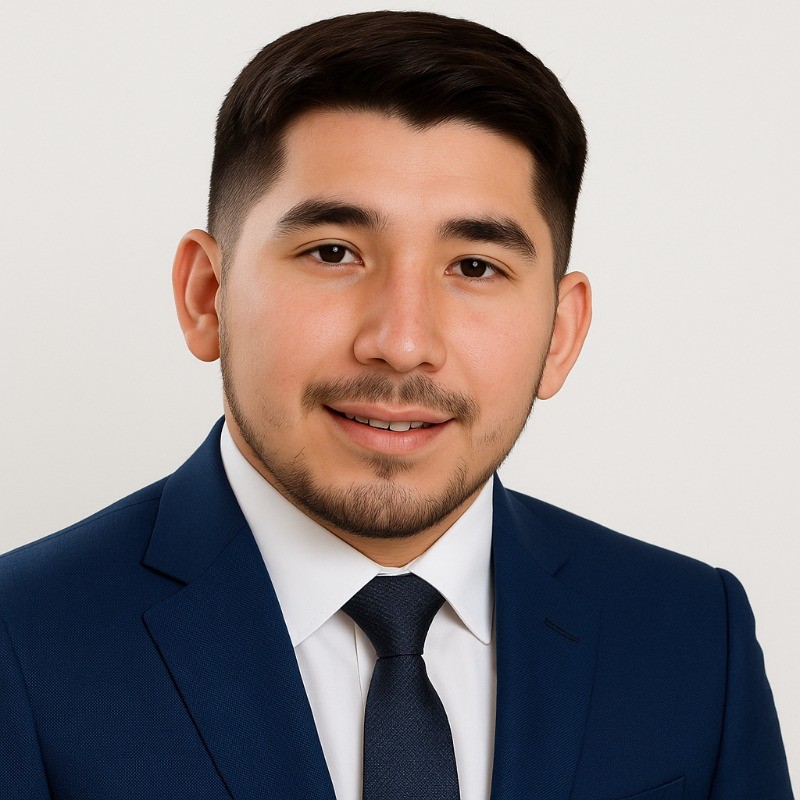

    Joel Leonardo Melgarejo

    Joel Leonardo Melgarejo

    Chief Scientific Officer & Co-Founder

    Specialist in climate research and technological development. Responsible for the scientific method and the precision of Karvonus' measurements.

    Jeisson Ballesteros

    Jeisson Ballesteros

    Chief Product Officer & Co-Founder

    Expert in user experience design and AI-oriented products. Responsible for the innovation and product design of Karvonus' SaaS platform.

    Questions about Karvonus

    Karvonus is a climate-tech company born in Latin America that monitors territories by satellite and turns that evidence into income for those who conserve forests. Its team is in Colombia, Peru and Canada; its projects are in Colombia and Peru today, and its monitoring works for any territory in the world.

    Three. Territory monitoring: forest cover, canopy and carbon, with wildfire and deforestation alerts, for any territory and set up remotely. Earn from your land: a free indicative estimate of a forest's carbon, then measurement, monitoring and the preparation of the project for a standard such as Verra or Gold Standard. Karvonus Seed: conserving a forest hectare by hectare with a monthly contribution, opening soon.

    Open satellite and scientific sources, read for each piece of land: Sentinel-2 imagery, the Copernicus elevation model, canopy height (CHMv2, Meta and WRI), ESA CCI biomass, Hansen/UMD forest loss, GLAD and RADD deforestation alerts, SoilGrids, CHIRPS rainfall, ERA5-Land water, NASA FIRMS fires and GBIF species records.

    No. Credits are issued by an independent standard, such as Verra or Gold Standard, after it validates and verifies the project. Karvonus measures and monitors the land and prepares the evidence for that process. The figure from the online calculator is an indicative estimate, not a measurement.

    Three co-founders: Felipe Arenas Teneche, Chief Executive Officer, who leads strategy and operations; Joel Leonardo Melgarejo, Chief Scientific Officer, who is responsible for the scientific method; and Jeisson Ballesteros, Chief Product Officer, who leads the product and the design of the platform.

    Yes. Karvonus was called Yahee Space before; the company, its team and its projects are the same.

    Conserving is done together

    Whether you look after a forest or want to support those who do, see how it works or talk to our team.