
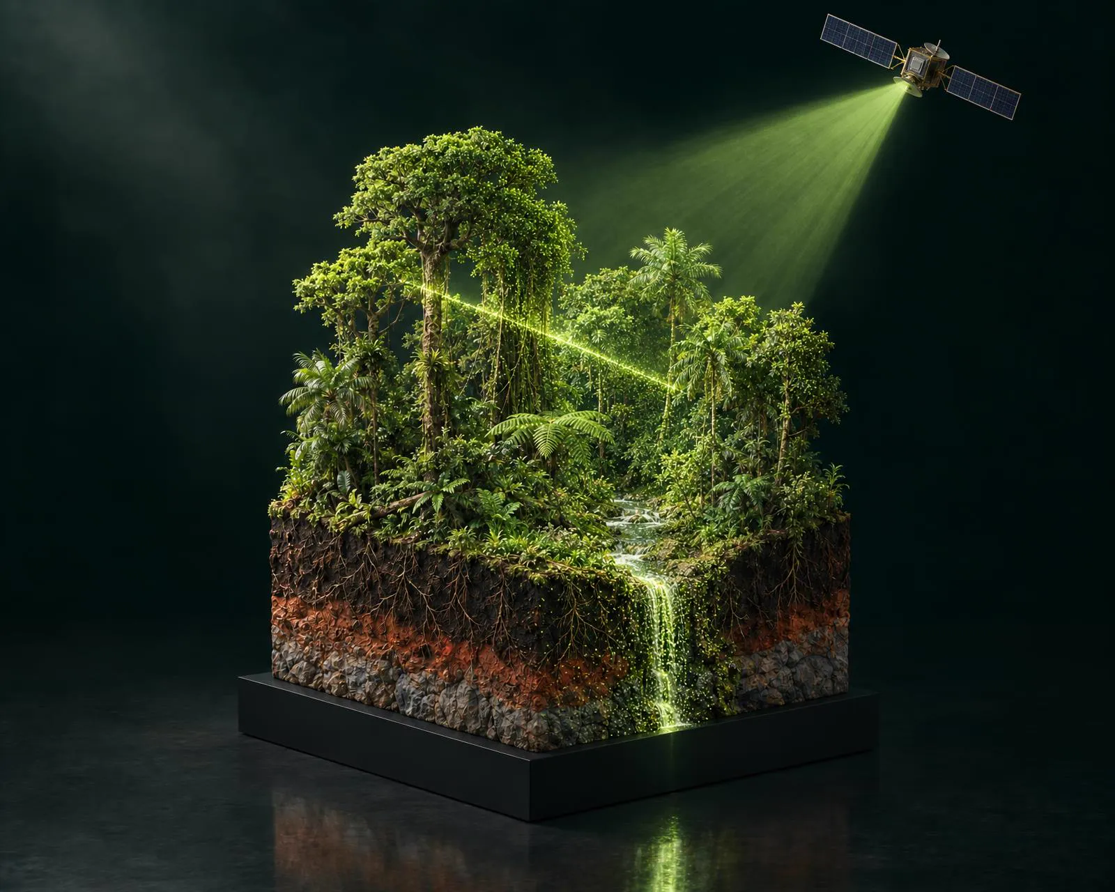
Space-based evidence for credible carbon credits
We help forest owners turn conservation into verified carbon value.
- Forest
- Water
- Biodiversity
How It Works
We evaluate forest health, carbon capture capacity, and water cycle function.
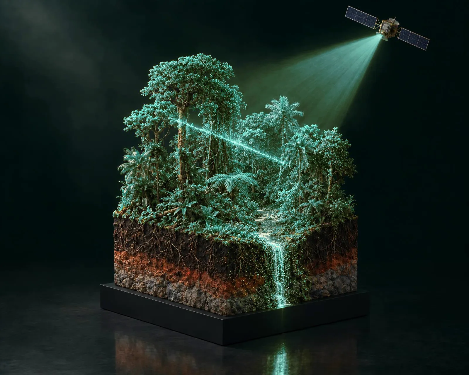
Our model, developed and verified for Amazon forests, estimates effective carbon capture.
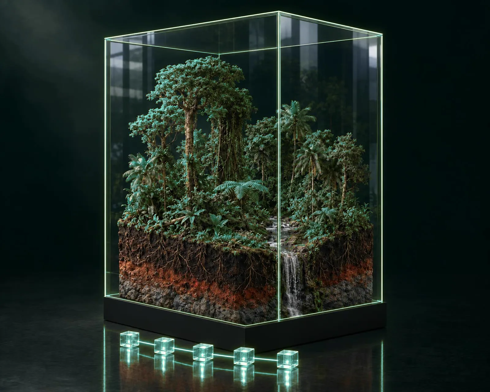
Every measurement is recorded on blockchain, creating an audit trail.
Digital reports ready for certification (VERRA, Gold Standard, Plan Vivo).
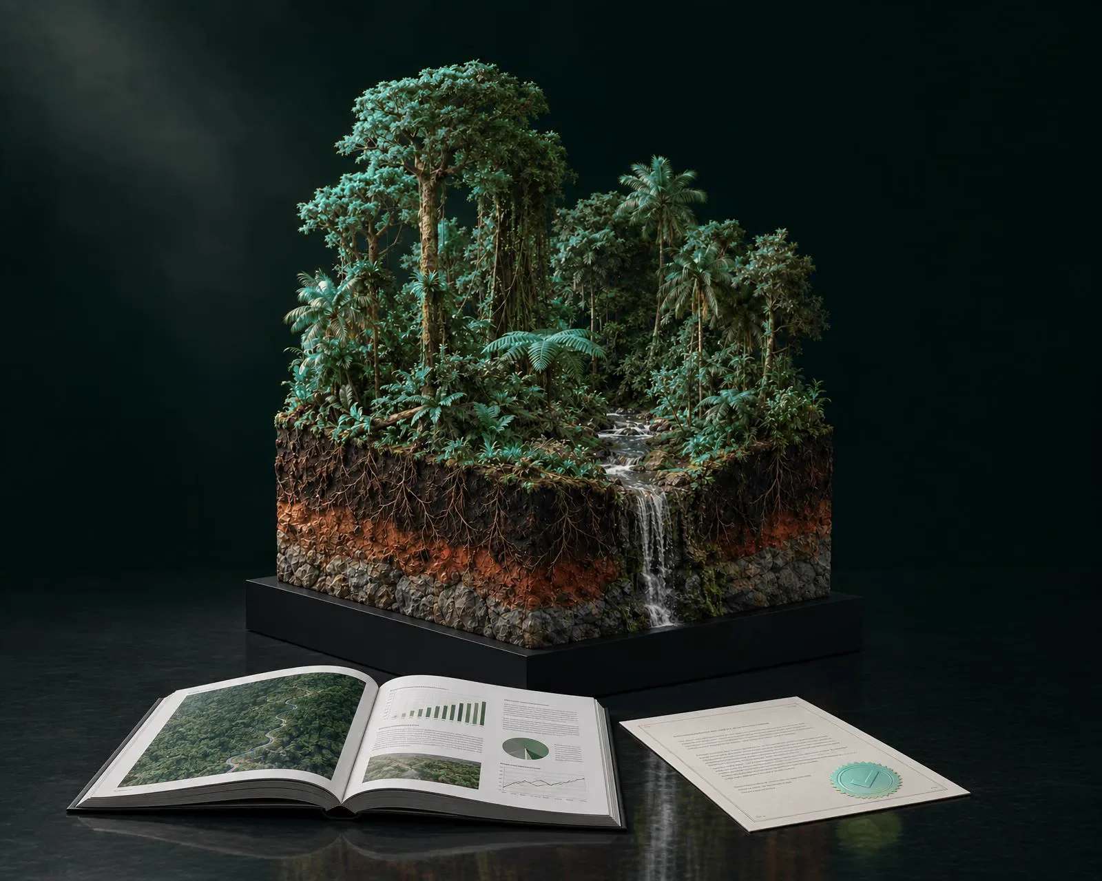
Every monitored hectare generates environmental, social, and financial value.
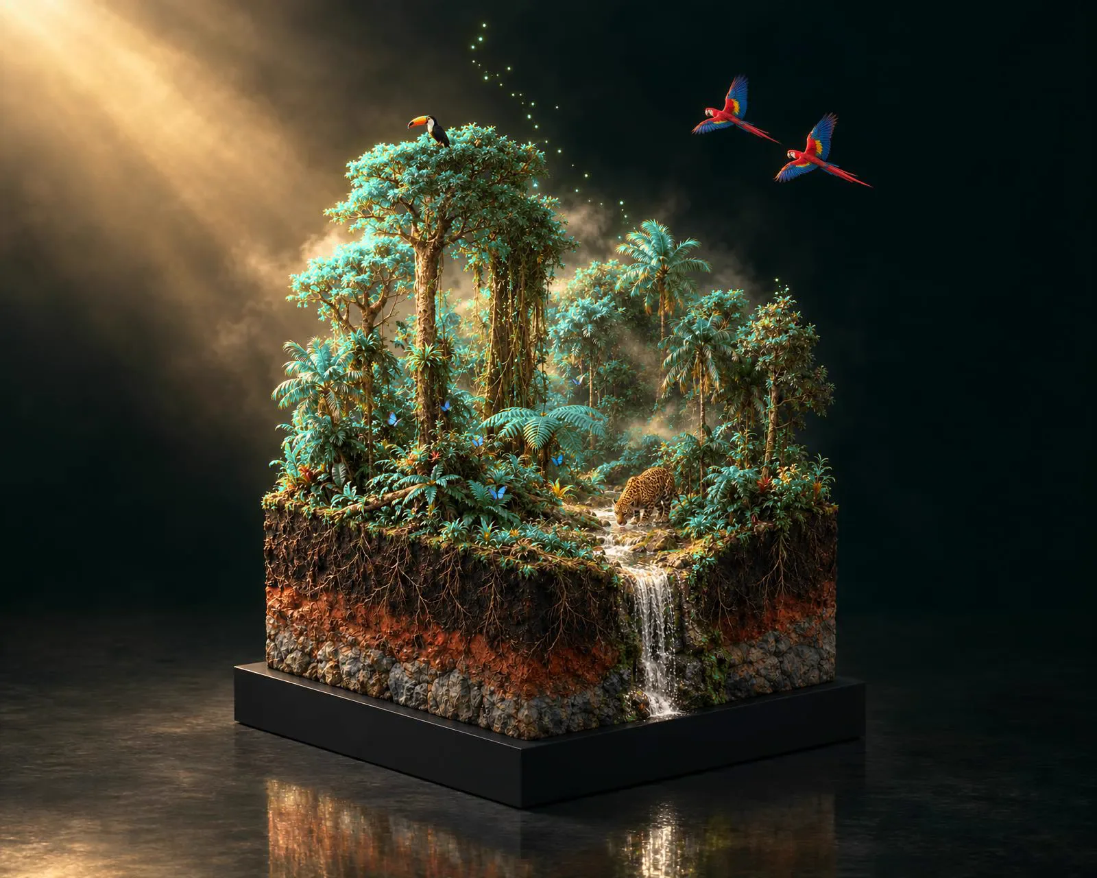
We watch the whole ecosystem, not only the trees.
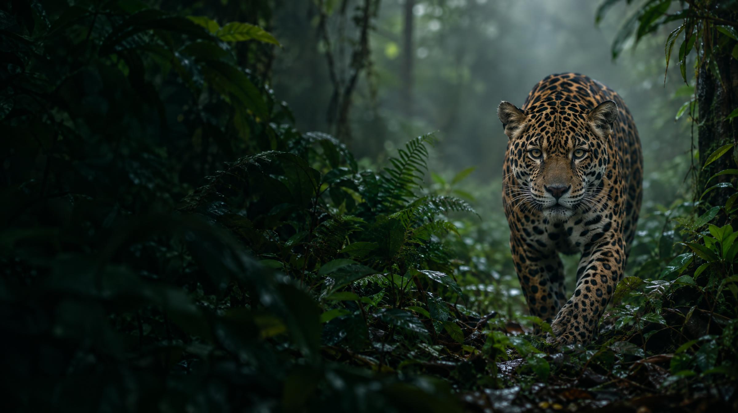
And when something changes, you hear about it: fire, flood or landslide.
What do you want to achieve?


Projects
We have positively impacted ecosystems where endangered species live

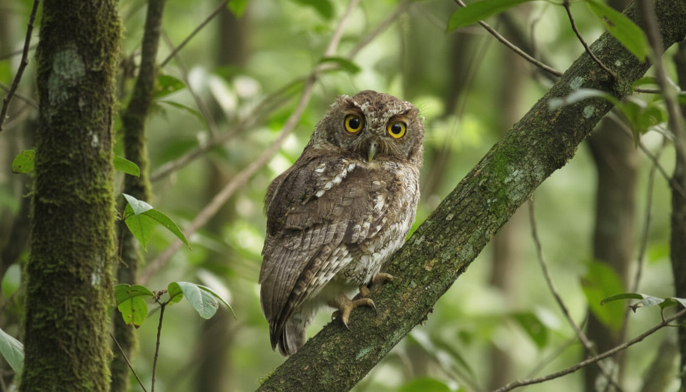
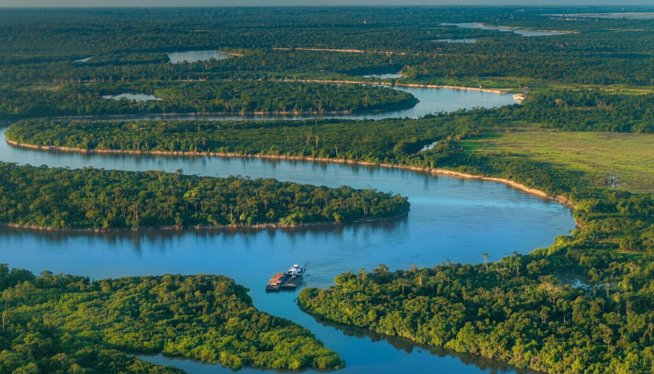
Villa Rosa - Quindío, Colombia
Native forest home to night monkeys, howler monkeys, bush dogs, wild turkeys, eagles, toucans, armadillos, exotic birds, among others.
“When used responsibly, sustainably and equitably, digital technologies have the potential to revolutionize conservation.”
António Guterres
Secretary General of the UN


Our technology makes conservation a more transparent act.
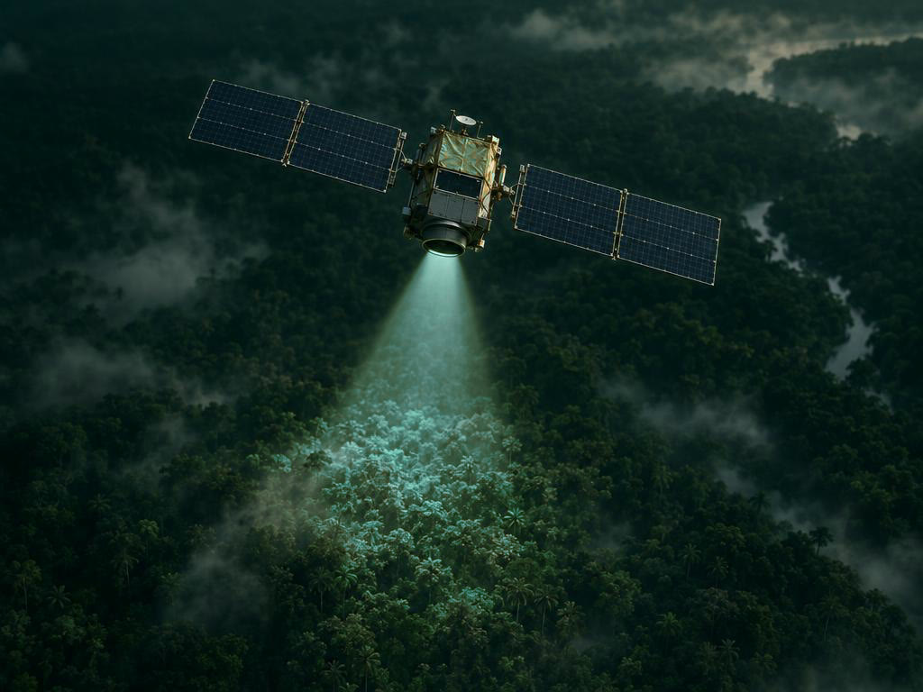
Remote Satellite Detection
Monthly monitoring of forest coverage and health.
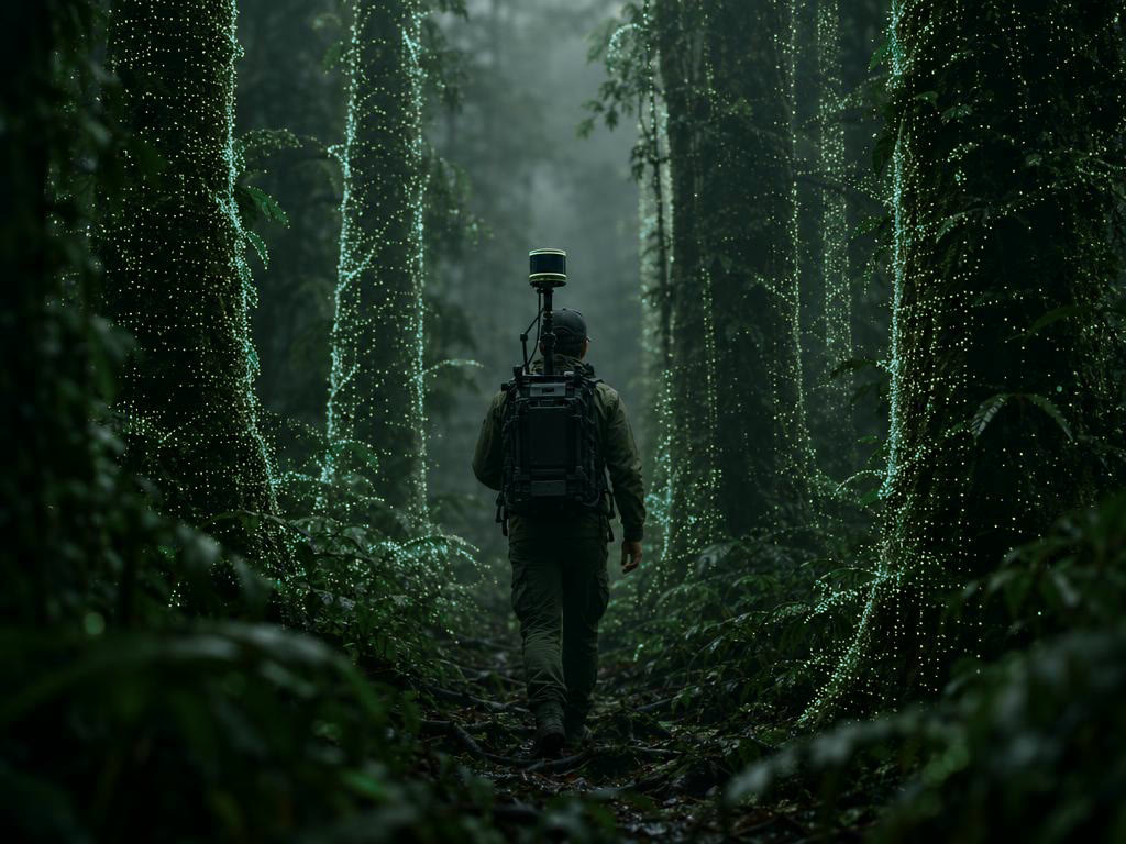
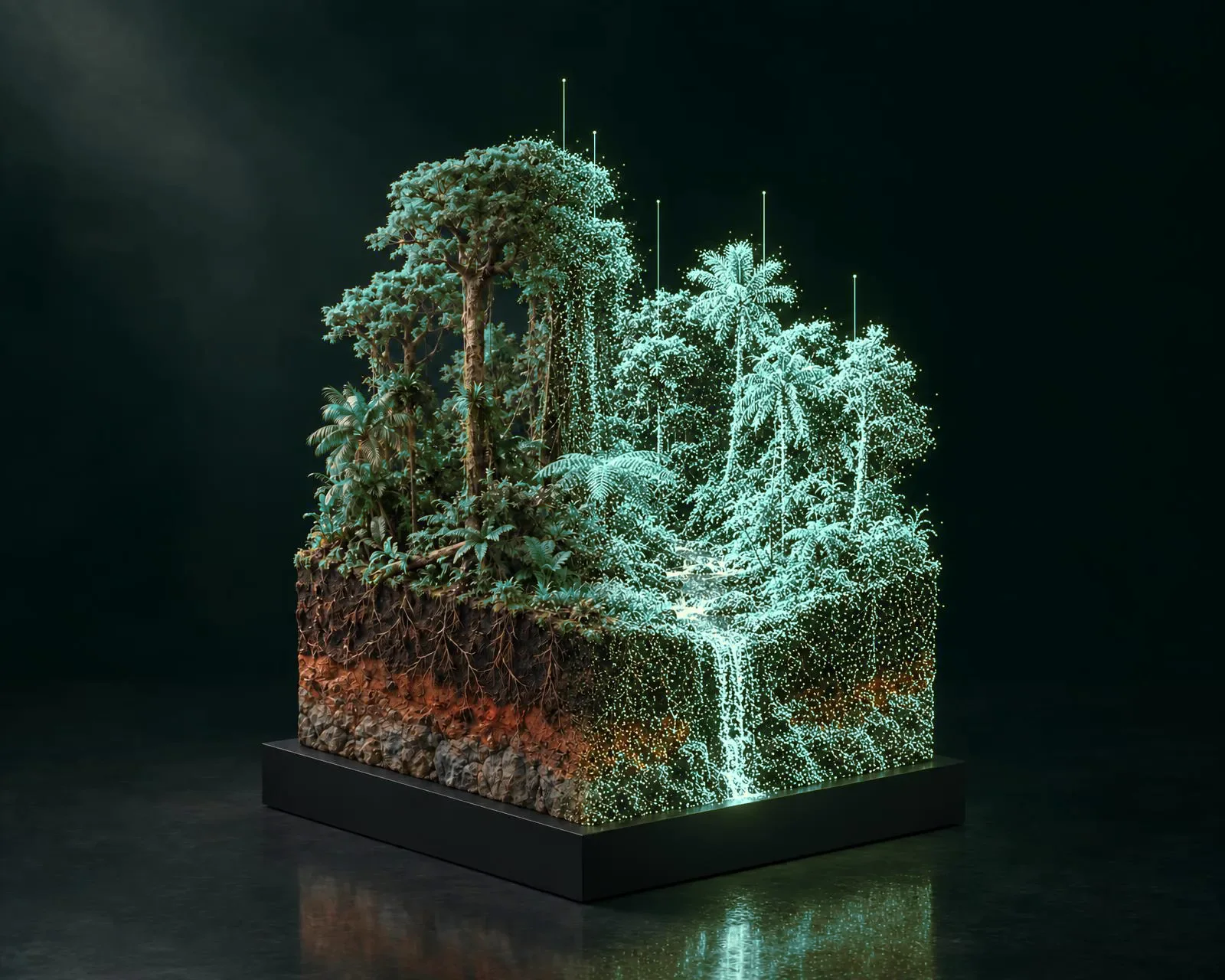
Portable LiDAR
Ground measurements with millimetric precision.
Blockchain
Immutable data registry for complete traceability.
Generative AI
Automated generation of VERRA-certified reports.
3D Digital Twin
Virtual forest replica for analysis and visualization.
Cloud-Native Infrastructure
Scalable, secure, real-time data processing.
Start with the land you have in mind.
Find it on the map and see, in a couple of minutes, how healthy it is and what conserving it could be worth.